Many of the northwestern Indiana counties have been issued winter storm watches ahead of severe weather conditions.
Chicago has seen temperatures below zero for consecutive 3 days with more snow expected over the weekend.
According to the National Weather Service, a watch for northwestern counties in Indiana ahead of heavy lake-effect snow will be in effect from midnight Friday.
The areas under the watch zone are St. Joseph, Marshall and Starke Counties in Indiana and Berrien along with Cass Counties in Michigan.
A separate watch will be in effect for Laporte County along with other areas surrounding it from 9 pm on Thursday up until Saturday morning. With another one for Porter County from Thursday midnight up to Friday night.
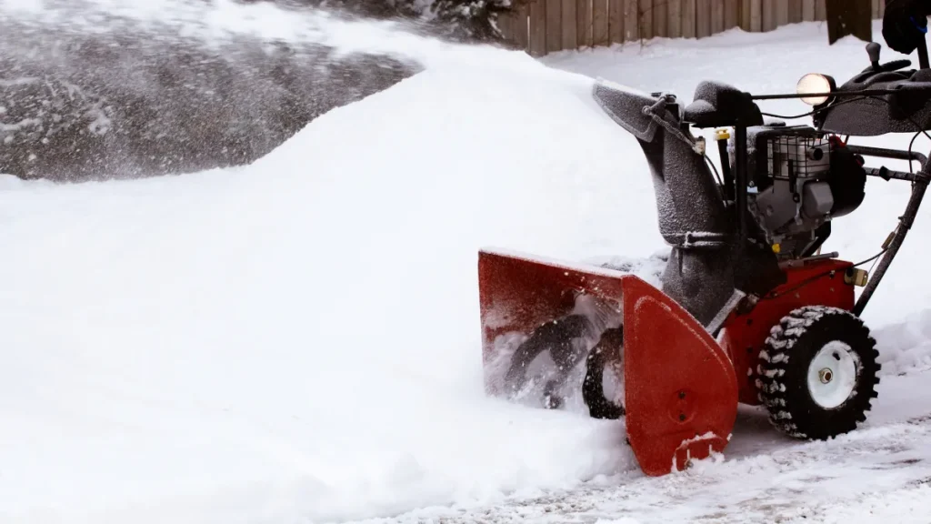
The snow is expected from Thursday till Saturday morning, with the highest concentration near Lake Michigan with up to 8 inches of snow. Some areas are expecting up to two inches of snow per hour along with high winds up to 30 miles which would affect the visibility of these areas.
LaPorte is expecting up to six or more inches of snow with northern parts of the county up to one foot or more for Saturday morning.
The National Weather Service has issued guidelines regarding the severity of the snow which might lead travel and transportation to be “difficult to impossible” in the affected areas. Travel will be most affected on Friday.
The recent storms were concentrated in the western suburbs and now the weather has turned to the northern and southern suburbs.
Saturday to Sunday
Even on Saturday and Sunday, northwestern Indiana is expecting light lake-effect snow showers dropping the temperatures below zero, in some locations.
The weather will be stable from Sunday with a certain rise in the temperatures up to the 20s and partly to mostly clouds.
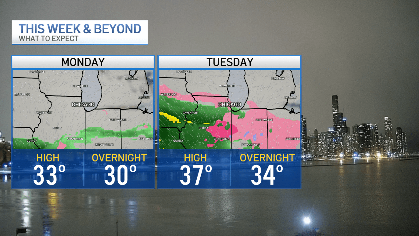
Monday to Tuesday
After the storm and winter nearly through the week, the weather will see a rise in temperature going up to some of the warmest temperatures seen in recent days.
According to the forecast, Tuesday will be marked with potentially warmer temperatures, but a risk of freezing rain in some areas and rain showers in some.
Wednesday and Thursday
The rain is expected to last a few days of the week with temperatures rising up to 21 degrees by Wednesday and Thursday.
The predictions are made by the NBC 5 Storm Team of Chicago that are keeping people updated with the coming changes in the weather conditions.

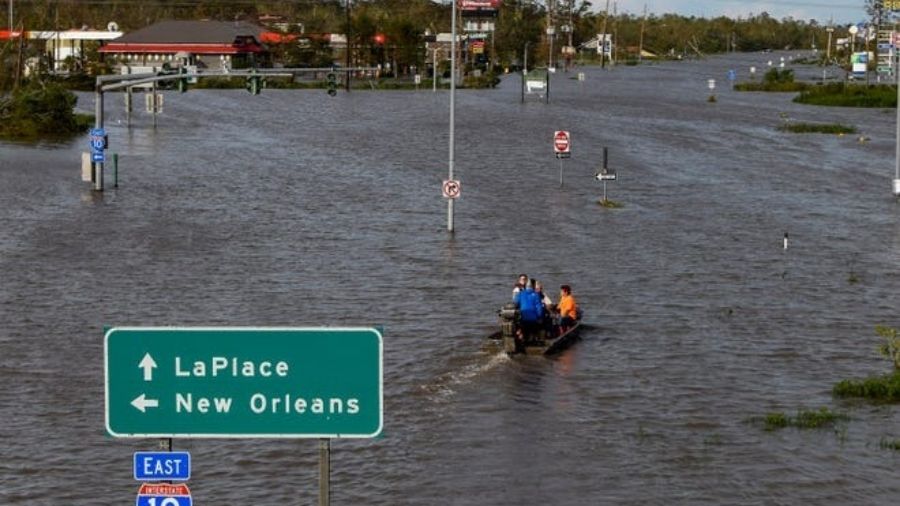
The weather has wreaked havoc across the USA with severe conditions including the Great Lakes and to the Plains leading to millions of people under winter weather alerts.